Where Is Mikumi National Park Located?
Mikumi National Park lies in south-central Tanzania, in the Morogoro region, roughly 280 to 300 kilometres inland from Dar es Salaam along the Tanzam highway. It sits at approximately 7 degrees 12 minutes south and 37 degrees 08 minutes east, wedged between the Uluguru Mountains and the Rubeho range, with Nyerere National Park directly to the south. A Mikumi safari is the closest true wilderness trip to Tanzania’s largest city, which is why the park anchors the southern circuit.
Below is where Mikumi actually sits: its coordinates, its neighbours, what surrounds it, and how its position shapes the safari.
Mikumi National Park’s Position on the Tanzanian Map
Look for Morogoro region on a map of Tanzania and you have the right area. Mikumi occupies the western part of it, roughly 118 kilometres beyond Morogoro town and about 283 kilometres from the coast by road.
The park covers 3,230 square kilometres, making it the fourth largest national park in Tanzania. It was gazetted in 1964, which puts it among the older protected areas in the country.
Mikumi shares its name with the village on its western boundary, and the village in turn takes its name from the borassus palms that grow in the area. That palm cover still shows up on the floodplain in scattered stands.
People searching for Mikumi sometimes end up looking at the northern circuit by mistake. Mikumi is nowhere near Serengeti, Ngorongoro or Arusha. It sits about 795 kilometres south of Arusha by road, on a completely different safari circuit with different logistics and much lower fees.
The Mountains That Ring the Mikumi Safari Basin
Mikumi sits in a basin partly enclosed by high ground, and that geography is one of the clearest markers of where you are.
The Uluguru Mountains rise to the northeast, climbing to about 2,630 metres above Morogoro town. To the west, the Rubeho range forms a dissected plateau covering some 4,636 square kilometres, topping out at 2,286 metres on Mangalisa. The Lumango hills sit to the southeast, and the Udzungwa Mountains lie southwest across the valley of the Great Ruaha River.
All of these belong to the Eastern Arc chain, a run of old, isolated forested blocks stretching through eastern Tanzania. They intercept moisture coming inland from the Indian Ocean, which is why the mountains stay wet while the plain below runs dry for months at a stretch.
From a vehicle on the Mkata Floodplain you can usually see two ranges at once, and that is a reliable way of knowing you are looking at Mikumi rather than any other Tanzanian park.
Where Mikumi Sits Inside the Greater Selous Ecosystem
Mikumi is not an island. It borders Nyerere National Park, formerly the Selous Game Reserve, along its southern edge, and the two function as a single ecosystem with animals moving between them.
Taken together with Nyerere, the Udzungwa Mountains and the Uluguru range, Mikumi forms part of a connected system spanning more than 75,000 square kilometres. That is the reason a park of 3,230 square kilometres holds the species list it does. Elephant and buffalo are recorded using forest reserves in the Rubeho mountains and appear to move seasonally between those forests and the park.
Mikumi sits at the accessible northern edge of all of it. For anyone arriving from Dar es Salaam, it is the doorway into a much larger wilderness that gets progressively harder to reach the further southwest you go.
How the Tanzam Highway Cuts Through Mikumi National Park
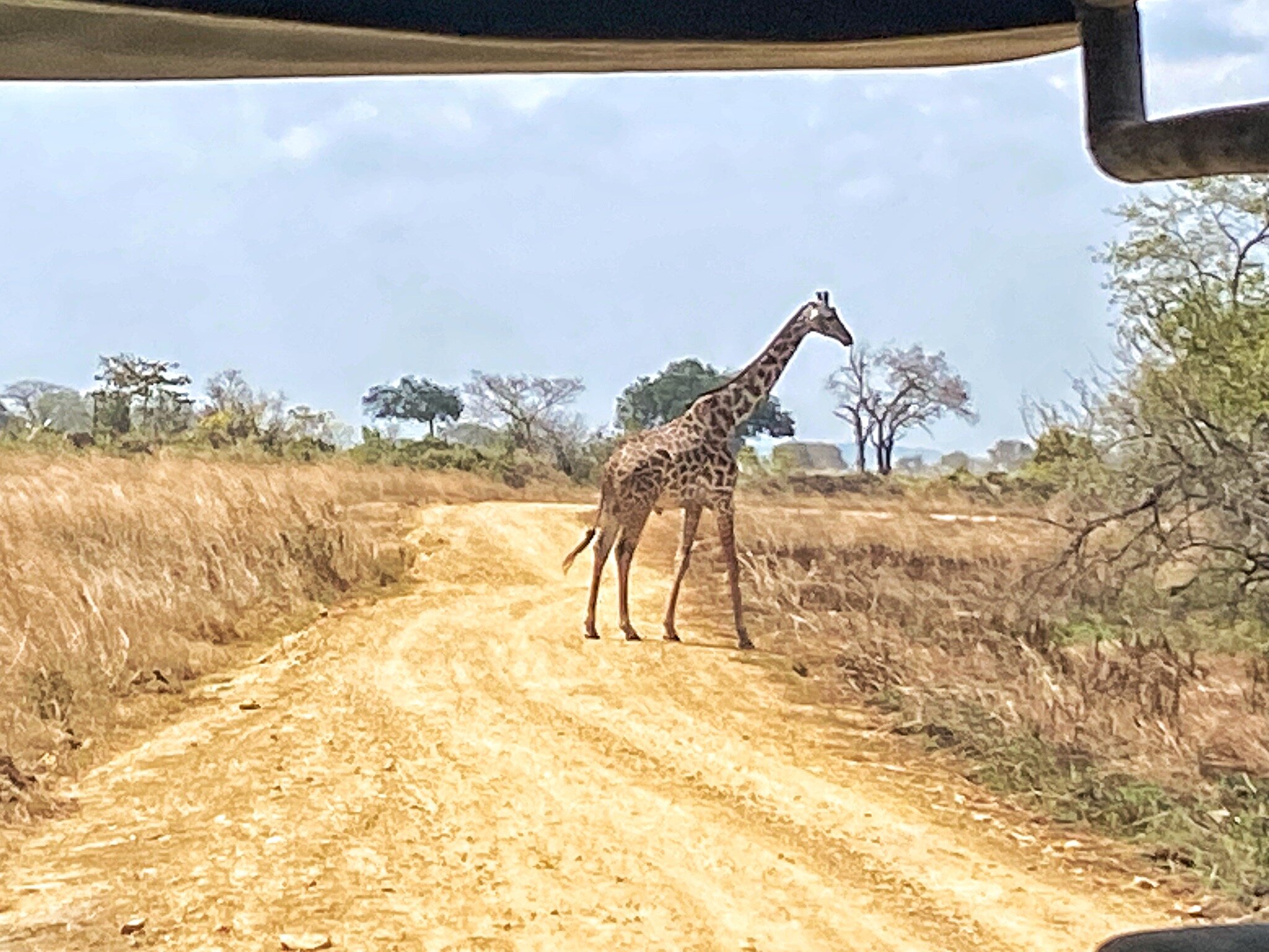
The A7, the Tanzania to Zambia highway, runs straight through the park. Mikumi is the only protected area in Tanzania traversed by a national trunk road, and that single fact defines how the park is used.
Roughly four fifths of Mikumi lies south of the tarmac. Very little of it is developed for tourism, and it is described as country for well-equipped expeditions rather than ordinary game drives. Everything most visitors come for sits northeast of the road on the Mkata Floodplain, served by a graded circuit of about 60 kilometres.
The road was paved between 1973 and 1974 and upgraded to full tarmac in 1989 and 1990. Eleven speed bumps slow traffic through the park section, and gates at each end are unmanned, so transit traffic passes through without stopping.
Mikumi’s location is its whole identity. Any other park this good would be a two day commitment. This one is a morning’s drive, and everything about how people use it follows from that.
The Mkata Floodplain at the Centre of a Mikumi Safari
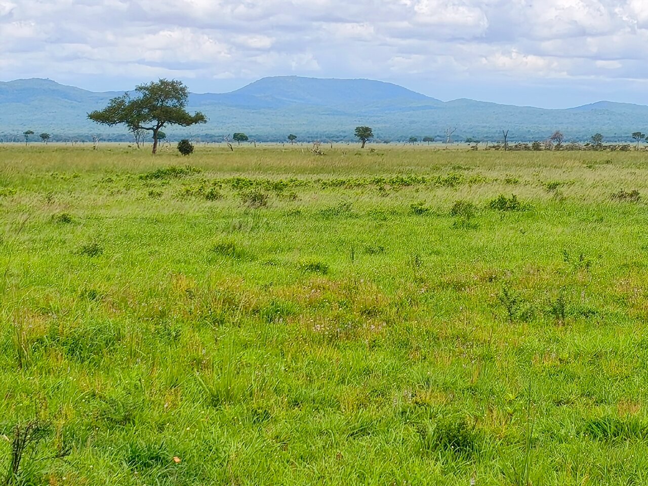
The core of the park is the Mkata Floodplain, an alluvial plain in the river basin northwest of the highway, and it is the reason Mikumi gets called the mini Serengeti.
Open grassland runs to the horizon, broken by acacia, baobab, tamarind and borassus palm, and merges into miombo woodland where the ground begins rising toward the foothills. The seasonal Mkata River and its tributaries shape the whole system, feeding the pools that hold animals through the dry months.
Two named waterholes, Mkata and Chamgore, sit on the circuit. The hippo pools lie about five kilometres north of the main gate. Mwanamboga sits below the rock outcrop where Stanley’s Kopje is built.
Southeast of the plain, in the miombo foothills near the Vuma Hills, the species change: greater kudu and sable antelope replace the open plains game.
Mikumi National Park’s Neighbouring Parks and Southern Circuit Links
Mikumi’s position makes it the natural first stop on Tanzania’s southern circuit, and its neighbours are all reachable on the same road.
Udzungwa Mountains National Park sits a short drive southwest and is the walking and waterfall destination of the group, quite different in character from Mikumi’s open plains. Nyerere National Park lies south, reachable in roughly two hours from Mikumi. Ruaha National Park is around 320 kilometres further along the highway, about six hours of driving, and is the big wilderness destination of the circuit. Kitulo lies further southwest again.
The same road, the A7, connects all of them, which is why so many itineraries run Mikumi first and work outward.
Getting to Mikumi National Park from Dar es Salaam and Beyond
By road from Dar es Salaam it is roughly 280 to 300 kilometres via Morogoro, four to five hours on surfaced highway in a private vehicle, longer in city traffic. Julius Nyerere International Airport is the arrival point for most international visitors, and operators pick up from there.
The standard gauge railway now runs Dar es Salaam to Morogoro much faster than the road, and some operators use it for the first leg before switching to a vehicle for the remaining stretch. Public buses run the highway daily and stop at Mikumi town.
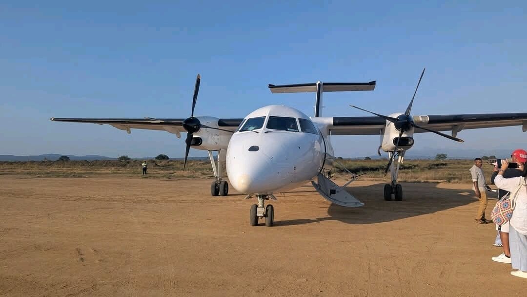
By air, Kikoboga airstrip inside the park takes light aircraft. Safari Air Link runs the scheduled service, linking Mikumi with Dar es Salaam, Zanzibar, Nyerere and Ruaha, with charter operators also serving the strip. Flight time from the coast runs roughly an hour to ninety minutes.
From Arusha and the northern circuit, Mikumi is about 795 kilometres by road, which is why almost nobody combines the two circuits by car.
What Mikumi’s Location Means for Wildlife Viewing
Sitting where it does, at the junction of open floodplain, miombo woodland and mountain foothills, Mikumi carries a wider species list than its size suggests.
Elephant, buffalo, zebra, giraffe, wildebeest, impala and eland are commonly seen on the Mkata plain in the dry season, with Mikumi rated the most reliable park in Tanzania for eland. Lion are regular, often perched on termite mounds. Greater kudu and sable antelope hold to the miombo foothills. Hippo and crocodile occupy the pools. Leopard and African wild dog are present but rare.
Rhino were lost to poaching in the 1990s, so four of the Big Five are present rather than five. More than 400 bird species have been recorded.
Distance from Dar es Salaam: around 283 kilometres by road, four to five hours through Morogoro on tarmac.
Distance from Morogoro: about 118 kilometres, roughly two hours on the same highway.
Distance from Arusha: roughly 795 kilometres south by road, which is a full multi day drive rather than a transfer.
Questions About Where Mikumi National Park Is
What region of Tanzania is Mikumi National Park in?
Morogoro region, in south-central Tanzania. The park sits around 118 kilometres west of Morogoro town and shares its western boundary with Mikumi village. Coordinates are approximately 7 degrees 12 minutes south, 37 degrees 08 minutes east.
How big is Mikumi National Park?
It covers 3,230 square kilometres, about 1,250 square miles, which makes it the fourth largest national park in Tanzania. It was established in 1964. As part of the greater Selous system with Nyerere, the Udzungwas and the Ulugurus, it sits within a connected area of more than 75,000 square kilometres.
Which parks border Mikumi National Park?
Nyerere National Park, formerly the Selous Game Reserve, borders Mikumi to the south, and the two form one ecosystem. Udzungwa Mountains National Park lies a short drive southwest, and Ruaha is around 320 kilometres further along the A7 highway.
What does it cost to enter Mikumi National Park?
Adult foreign non-residents currently pay around US$30 per person per day and children aged 5 to 15 about US$10. Tanzanian resident adults pay roughly US$15 and children US$5, with lower rates again for East African citizens paying in shillings. Vehicle fees are separate, around US$40 per day for a six to twelve seat safari vehicle and US$10 for a private car. Entry is valid 24 hours from the moment you pass the gate.
Is Mikumi near Zanzibar?
Not by road, but it is reachable by air. Safari Air Link connects Kikoboga airstrip inside the park with Zanzibar, Dar es Salaam, Nyerere and Ruaha, which makes a short Mikumi safari a workable add-on to a beach trip. Driving from Zanzibar is not possible without a ferry to Dar es Salaam first.
Can I see Mikumi National Park from the main highway?
Yes. The A7 runs through the park, and zebra, impala, giraffe, warthog and baboon are commonly visible from the tarmac. Passing through does not require park fees, but stopping on the carriageway is dangerous and discouraged. Using the game viewing circuit means paying entry at the main gate.
Booking Your Mikumi Trip
The safari companies and tour operators listed on this website put trips like this together for a living and know which camps, guides and routes actually deliver. We are an independent guide to Mikumi; we do not book or sell tours ourselves.
When you are ready, arrange your safari, tour or holiday with one of the recognised operators listed here. Tell them your dates and what matters most, and a real person, not a form, will handle the itinerary, park bookings and logistics for you.