Rubeho Mountains Backdrop
The Rubeho Mountains are the dissected plateau that skirts the western side of Mikumi National Park and the Mkata plain, giving a Mikumi safari its second mountain horizon after the Ulugurus to the northeast. The range covers around 4,636 square kilometres across the Morogoro and Dodoma regions, rises to 2,286 metres at Mangalisa, and belongs to the same Eastern Arc chain that runs the length of eastern Tanzania. From the floodplain the Rubehos read as a broken skyline rather than a single ridge.
What follows covers where the range sits, how it shapes conditions inside the park, and what the connection between mountain forest and open plain means for wildlife.
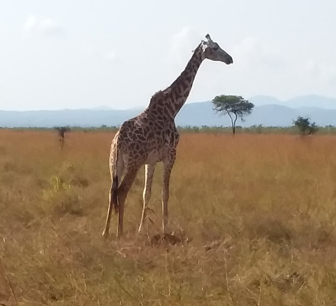
Where the Rubeho Mountains Meet Mikumi National Park
Mikumi sits in a basin ringed by high ground on more than one side. The Ulugurus close it off to the northeast. The Rubehos run along the western edge of the park and the Mkata plain, and unlike the sharp Uluguru ridge they form a dissected plateau, cut into blocks and valleys rather than rising as a wall.
The range has clear boundaries in every direction. The steep-sided valley of the Great Ruaha River separates the Rubehos from the Udzungwa Mountains to the south. A narrow gap divides them from the Uvidunda Mountains to the southeast. The Mkondoa River marks the split from the Ukaguru Mountains to the north and northeast. East of the range sit the Pala Mountains, and the Mkata plain lies beyond them.
Three peaks carry the height: Mangalisa at 2,286 metres, Mafwemiro at 2,152 metres and Ledengombe at 1,941 metres.
People often confuse the two ranges flanking Mikumi. The Ulugurus are the taller, sharper line to the northeast above Morogoro. The Rubehos are the broader, more broken plateau on the western side. Both are Eastern Arc, and both are outside the park boundary.
The Rubeho Range as an Eastern Arc Backdrop
The Eastern Arc Mountains are old blocks of Precambrian rock, raised through repeated uplift and worn down between times, and they run in a broken chain that includes the Taita Hills, the Pare and Usambara ranges, the Nguru, Ukaguru, Uluguru, Rubeho, Udzungwa and Mahenge mountains.
Their isolation from one another is what makes them important. Forest has held on these summits while the country around them changed, which has left each block with species found nowhere else. The Rubehos support a biodiverse community with a substantial number of endemics, and three forest reserves are recognised on the range: Ukwiva at 54,635 hectares covering the main highland block, Mafwemiro at 3,238 hectares and Mangalisa at 4,988 hectares.
Ukwiva climbs from the Myombo river valley at around 1,000 metres to Ledengombe peak. Its western part carries dry montane forest between 1,600 and 1,700 metres with a low canopy, while the eastern edge is much wetter and largely undisturbed apart from elephant.
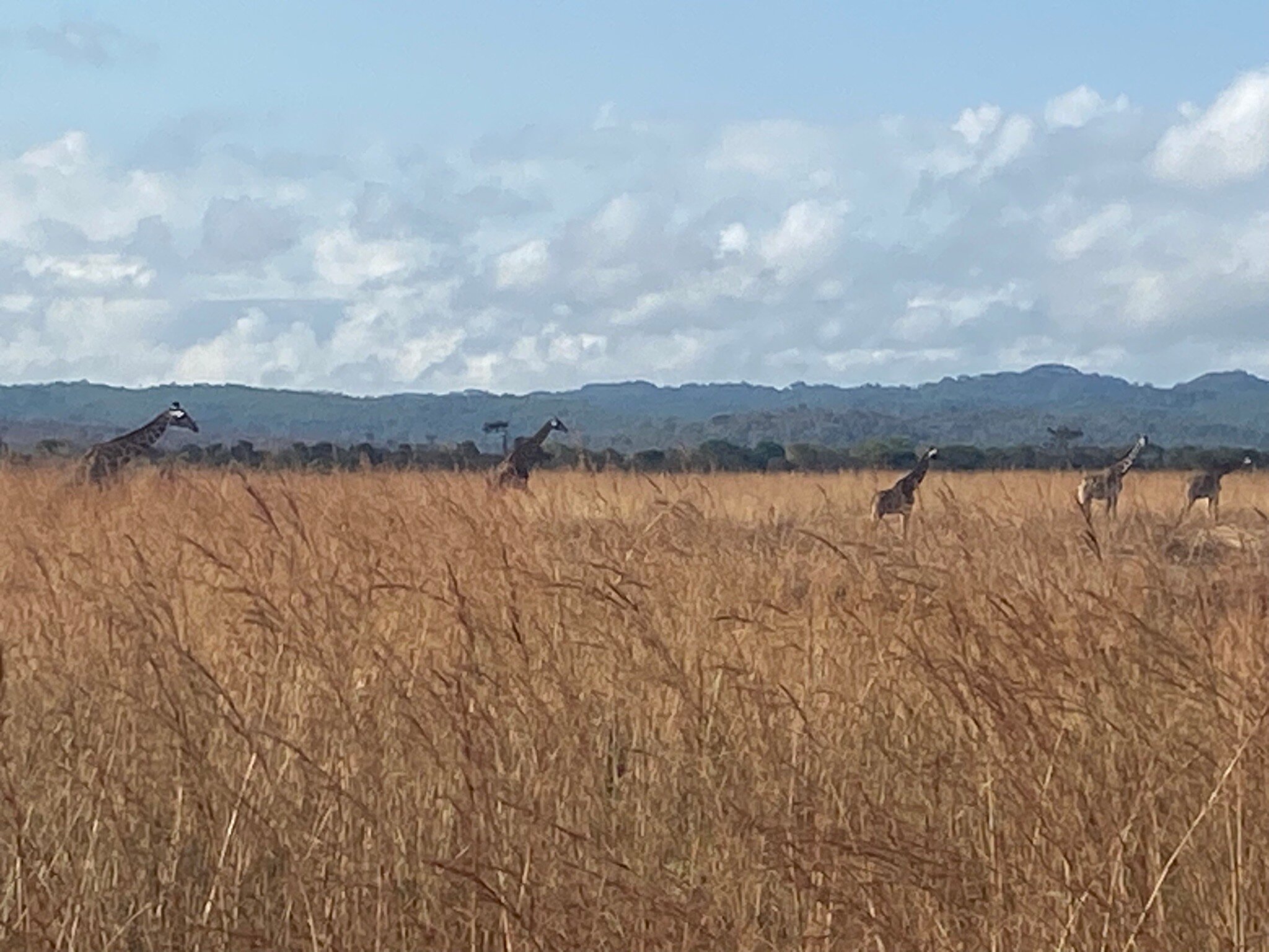
Photographing the Rubeho Backdrop on a Mikumi Game Drive
Having mountains on two sides changes what a wide shot on the Mkata Floodplain can do. Look northeast and you get the hard Uluguru line. Look west and the Rubehos give you a layered, receding skyline that holds evening light for longer.
Late afternoon is the Rubeho window. Because the range sits west, the sun goes down behind it, which means the last hour of a Mikumi game drive gives you animals lit from the front against a darkening plateau. Silhouette work is available in the twenty minutes before the light goes entirely.
Morning does the opposite and works better for the Ulugurus. Planning a day around both, floodplain east-facing at dawn and west-facing before the gates close at six, is the simplest way to use the geography properly.
A wider lens matters here. Tight animal portraits could be taken anywhere, and they lose the thing that makes Mikumi look like Mikumi.
Mikumi’s plains are ordinary enough on their own. What lifts them is that you are standing in a basin with old mountains on both sides, and almost every picture worth keeping puts one of them in the frame.
Elephant and Buffalo Movement Between Mikumi and the Rubeho Forests
The connection between mountain and plain is not just visual. Elephant and buffalo are recorded using Ukwiva Forest Reserve on the Rubeho massif, and researchers have suggested that at least some of these animals move on an annual basis between the mountain forests and Mikumi National Park.
That seasonal shuttle is the sort of thing that gets lost when parks are treated as islands. Mikumi already sits within a much larger connected system alongside Nyerere National Park to the south and the Udzungwa Mountains to the southwest, and the Rubeho forests extend that connectivity westward.
For a visitor, the practical consequence is simple: elephant numbers on the Mkata plain are not fixed. Animals arrive and leave, and a herd that was on the floodplain last month may be in the hills this one. It is one reason guides talk about recent movements rather than making general promises.
Elephant are commonly seen on the floodplain through the dry season, particularly in the acacia and tamarind stands along the Mkata River.
Birdwatching and the Rubeho Important Bird Area
The Rubeho Mountains are recognised as an Important Bird Area, which reflects the endemic and restricted-range species holding in the montane forest rather than anything you would see from a vehicle on the plain.
Inside Mikumi, the birding story is different but linked. The park has more than 400 recorded species across grassland, swamp, riverine woodland and miombo. The miombo-covered foothills where the plain begins to rise toward the Rubehos hold a distinct woodland community: Boehm’s bee-eater, Dickinson’s kestrel, hornbills, mixed feeding parties working the canopy.
Out on the grass the cast changes to yellow-throated longclaw, black-bellied bustard, secretary bird, guineafowl and lilac-breasted roller. Bateleur and martial eagle quarter the transition zone where woodland meets open ground, which is often the most productive strip of all for raptors.
From November through April, European and North African migrants push numbers up sharply.
How the Rubeho Mountains Shape Rainfall Over the Mkata Plain
The Rubehos receive more rain than the plains around them because they intercept moisture-laden air moving inland from the Indian Ocean. Higher ground wrings water out of the air, and the plain below gets what is left.
That is the mechanism behind Mikumi’s strong seasonality. The floodplain runs on seasonal channels of the Mkata River and a small number of pools, and once those retreat between June and October the game concentrates on what remains. It is the single fact that determines when a Mikumi safari works best.
Temperature follows height too. Mornings in the foothills are cooler than out on the grass, and a light fleece is worth having in June and July on an early drive that takes you toward rising ground.
Miombo Woodland Safaris in the Rubeho Foothills
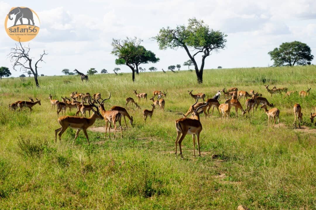
Where the plain lifts toward the mountains, grassland gives way to miombo, dominated by brachystegia, and the species list changes with it. Greater kudu and sable antelope favour these wooded foothills and are seldom seen on open grass, which is why itineraries that never leave the floodplain miss them entirely.
Sable are the prize. A mature bull carries backswept horns close to a metre long, black flanks and a white face mask. Kudu use the same cover and slip away quietly, so early morning gives the better odds on both.
Lichtenstein’s hartebeest work the woodland edge. Elephant and buffalo shelter in the trees through the heat of the day. Sightings stay regular rather than certain, and a single drive may produce none of them.
Best Time to See the Rubeho Mountains From Mikumi
The dry season from June to October gives the most consistent views, with drier air and a longer window before haze builds. These are also the coolest months in the park and the strongest for game viewing on the plain below.
Cloud sits on the range for long stretches during the rains, particularly in March and April. When it breaks after a downpour the air is washed clean and the plateau can look far closer than it is, which is worth waiting around for if you are there in the wet months.
June to October, dry: clearest mountain skyline, best game concentration on the plain, coolest weather. Dust haze builds late in the season and softens the outline by mid-morning.
November to February, short rains: green plains, heavy cloud over the plateau that clears in bursts, migrant birds present. Hot and humid.
March to May, long rains: the wettest months on the range, cloud often down on the slopes, and the poorest track conditions on the park circuit below.
Getting to Mikumi and the Rubeho Foothills
Mikumi’s main gate sits on the Tanzam highway, roughly 280 to 300 kilometres from Dar es Salaam, four to five hours by road via Morogoro. The A7 continues west and southwest past the Rubehos, following the Great Ruaha River before running northeast through the gap between the Rubeho and Uvidunda mountains toward Iringa and Ruaha.
The Tanzania Main Line railway skirts the northern end of the highlands along the Mkondoa River between the Ukaguru and Rubeho ranges, with a branch line running south across the Mkata plain from Kilosa. The newer standard gauge railway covers Dar es Salaam to Morogoro quickly, and some operators use it for the first leg.
Kikoboga airstrip inside Mikumi takes light aircraft from Dar es Salaam, Zanzibar, Nyerere and Ruaha. Park gates close at six in the evening.
Questions About the Rubeho Mountains and Mikumi
How high are the Rubeho Mountains?
Mangalisa is the highest peak at 2,286 metres, followed by Mafwemiro at 2,152 metres and Ledengombe at 1,941 metres. The range is a dissected plateau rather than a single ridge and covers around 4,636 square kilometres.
Are the Rubeho Mountains inside Mikumi National Park?
No. The range lies outside the park boundary and is protected separately through forest reserves including Ukwiva, Mafwemiro and Mangalisa. Mikumi borders the mountains, and the two are connected ecologically, with elephant and buffalo apparently moving between the forests and the park.
What does it cost to visit Mikumi and see the Rubeho backdrop?
Park entry covers it. Adult foreign non-residents currently pay around US$30 per person per day and children aged 5 to 15 about US$10, with lower rates for Tanzanian residents and East African citizens. A six to twelve seat safari vehicle adds roughly US$40 per day and a private car around US$10. There is no separate charge for the view.
Can I hike in the Rubeho Mountains?
The range is far less set up for visitors than the Ulugurus above Morogoro or the Udzungwas to the south. Access runs through forest reserves rather than a national park, infrastructure is limited, and there is no established trekking industry. Most people who want to walk in the Eastern Arc near Mikumi head for Udzungwa Mountains National Park instead.
Which mountains give the best views on a Mikumi safari?
For morning light, face northeast toward the Ulugurus from the Mkata Floodplain. For evening, face west toward the Rubehos, which hold the last of the light. For an elevated view taking in both, the Vuma Hills in the southwest of the park are the best vantage point in Mikumi.
What wildlife lives in the Rubeho forests?
Elephant and buffalo are recorded in Ukwiva Forest Reserve, and blue duiker occurs on Mangalisa. The range is an Important Bird Area with restricted-range and endemic species in the montane forest. Little of this is accessible or visible to ordinary safari visitors, who see the range as a horizon rather than a destination.
Booking Your Mikumi Trip
The safari companies and tour operators listed on this website put trips like this together for a living and know which camps, guides and routes actually deliver. We are an independent guide to Mikumi; we do not book or sell tours ourselves.
When you are ready, arrange your safari, tour or holiday with one of the recognised operators listed here. Tell them your dates and what matters most, and a real person, not a form, will handle the itinerary, park bookings and logistics for you.